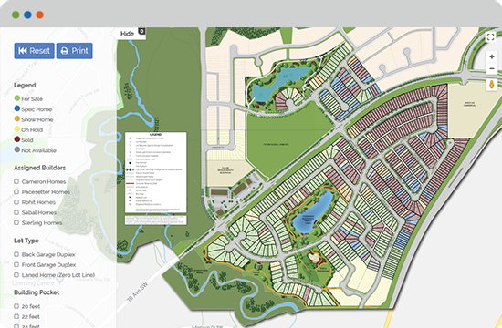
Working collaboratively with the real estate developer & their creative agency, we developed a map style based on a chosen colour palette and terrain rendering style & applied to it to CAD engineering drawings.
We assisted the creative agency in design & integration of the map along with additional website content. All Status Changes are handled by our content manager in the background.
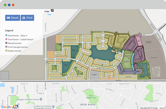
Working collaboratively with the real estate developer & their creative agency, we developed a map and terrain rendering style based on initial artwork presented to our team & applied to it to various CAD engineering drawings.
We assisted the creative agency with the integration of the map and facilitated a custom feature that enables a pre-filtered set of lots to be selected when entering each phase from the overall community map.
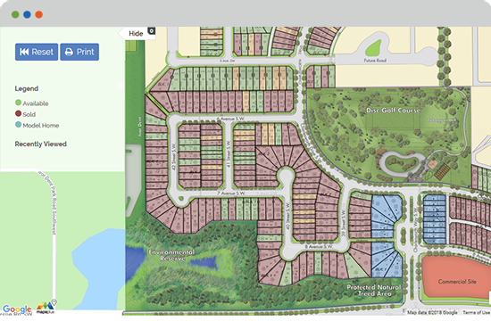
Working collaboratively with the real estate developer we implemented their third party original artwork and meshed together various phases to maintain an up to date overall community map.
We assisted the creative agency with the integration of the map and enabled features that allowed the map to display additional/custom details with each lot.
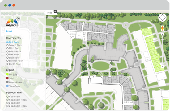
Working from the Architect's AutoCAD drawings we added landscaping, roads and amenities to the site plan. We designed a color palette and style with the real estate developer's marketing team.
We then handed off the starter code to the creative agency to integrate with the project's microsite.
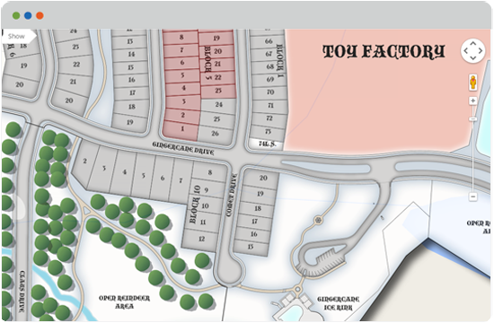
We designed a promotional map for the 5th Annual GingerCane Contest - a Charity Gingerbread house building competition. The map was created based on a fictional North Pole community. We took an AutoCAD drawing of an actual community, then adapted and stylized it to fit the competition.
The information for each house entry automatically updates on the map as photos are uploaded and donations are made from the competition website.
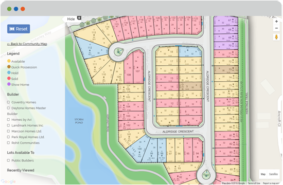
Starting with the Engineer's AutoCAD lot drawings & utilities plan, we designed a standardized color palette and style to be implemented across our client's 13 different active projects & 50 active maps.
These maps are used for marketing as well as in their daily processes through the StreetscapePLUS Architectural Controls & Land Administration Software system.
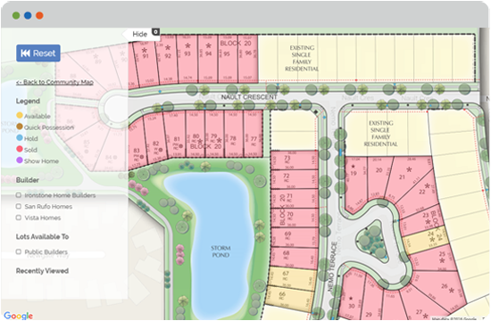
This map is a section/phase of a large master planned community. On the Land Developer's Website, a larger overall interactive map directs to each phase of the community.
We worked collaboratively with this developer and their creative agency to design & implement a map style that would be standardized across all their projects and used throughout their website and systems.
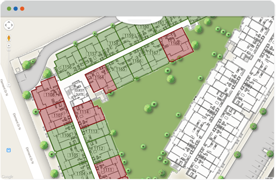
Working from the architect's original design drawings we crafted an engaging map design that highlighted building & site features. The client implemented the full-feature map for Sales Centre access on interactive screens.
To demonstrate the level of active buying interest the Sales Centre team was tasked with updating unit holds and sold unit activities daily using our web-based content manager.
We are map designers, artists & developers. We built MapsPLUS to help you publish interactive maps more quickly and easily, but if you'd like to collaborate with us - we'd love to help you. We've designed maps and created interactive mapping tools for clients over the past 2 decades. If you'd like to know more about our firm - we are E2 + Associates.
The best way to contact us is either by email, through our contact form or by grabbing the phone and calling Sean Young at 1 (888) 443-7446.

Make MapsPLUS your own. Change the color of the website below or visit our style gallery or live showcase to explore the possibilities.